
Cybertiks
Cybertiks Soil Analysis is a cutting-edge service utilizing satellite and AI technologies to provide comprehensive soil health evaluations. Catering to agricultural needs across various regions, it ha
- Freemium
- Web, iOS, Android
- Data & AnalyticsAI Tools for AgricultureCode
- Free plan available
- No credit card
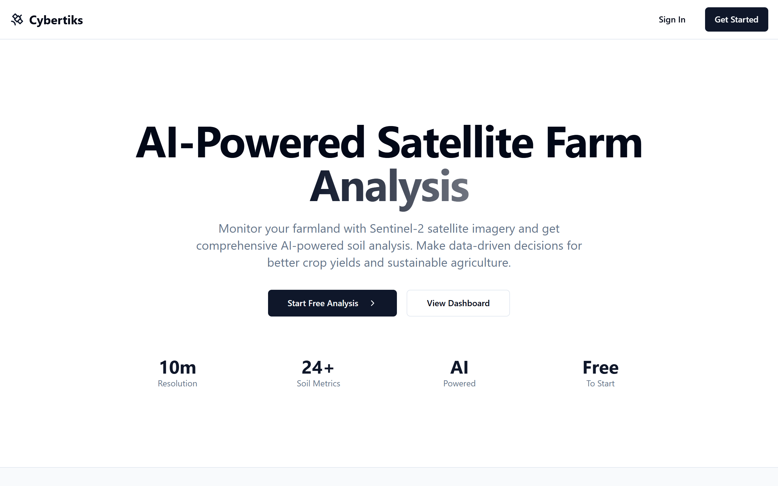
What is Cybertiks?
Key features
Satellite-based soil analysis
Uses remote sensing to examine soil conditions without physical sampling
Full area coverage
Analyses 100% of soil data in a target area rather than relying on sample points
AI-powered evaluation
Machine learning models interpret satellite data to assess soil health metrics
Mobile app interface
Dedicated application for accessing results and managing analysis projects
Precision agriculture support
Provides data to guide targeted farming decisions and resource allocation
Pros & cons
Advantages
- Covers entire fields rather than just sampled points, potentially revealing soil variation missed by traditional methods
- No need to physically collect and transport soil samples, saving time and labour
- Cost-effective alternative to extensive ground-based soil testing across large areas
- Mobile app access allows farmers to view data and make decisions in the field
Limitations
- Satellite-based analysis may be less precise for certain soil properties compared to laboratory testing of physical samples
- Results depend on cloud cover and weather conditions that affect satellite imagery quality
- May require supplementary ground testing in some cases to validate or clarify findings
Use cases
Large-scale farms monitoring soil health across multiple fields to optimise fertiliser application
Agricultural advisors providing soil assessment reports to multiple clients quickly
Precision agriculture operations using soil data to guide variable-rate input strategies
Regional agricultural planning and understanding soil condition trends across farming districts
Farms identifying problem areas within fields that need targeted intervention
Ready to try Cybertiks?
Pricing
Free
Free
Basic access to soil analysis features with limited area coverage or analysis frequency
Paid Plans
Pricing not publicly specified
Expanded area coverage, increased analysis frequency, priority support, and additional data layers
Get started with Cybertiks
Click through to Cybertiks and start using it now.
- Free plan available
- No credit card