GeoFastMapAPI
open-source Fast vector and raster server for mapmakers
- Open Source
- Web, API
- AI Mapping & Cartography ToolsDeveloper Tools
- Open source
- Free forever
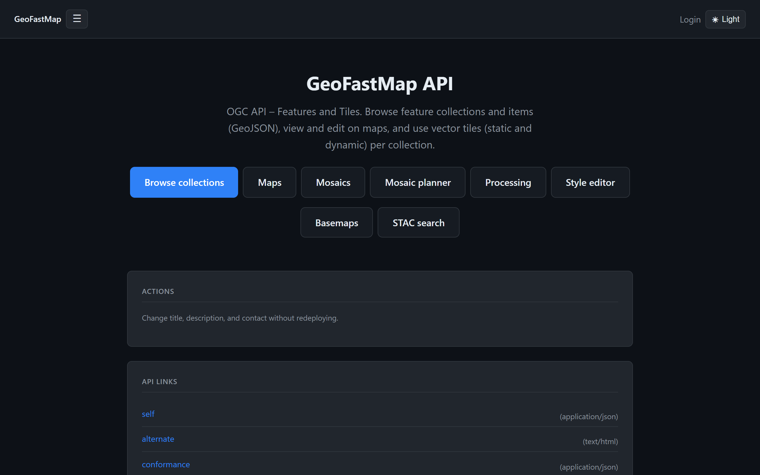
What is GeoFastMapAPI?
Key features
Vector tile serving
efficiently delivers vector map data in standard formats to web and mobile clients
Raster tile serving
hosts and streams raster imagery and gridded data sets
Open-source codebase
full source code available for inspection, modification, and self-hosting
Fast performance
optimised for quick data delivery to reduce map load times
Standard format support
works with common GIS data formats and tile specifications
Self-hosted deployment
run the server on your own hardware or cloud infrastructure
Pros & cons
Advantages
- No licensing costs or vendor lock-in since it's open-source
- Complete data privacy when self-hosted; your geographic data remains under your control
- Can be customised and extended to match specific project requirements
- Suitable for both small projects and large-scale geographic data distribution
Limitations
- Requires technical knowledge to set up, configure, and maintain a server
- You're responsible for infrastructure costs, security updates, and system administration
- May lack some advanced features or integrations found in commercial mapping platforms
Use cases
Running a private map server for a government agency or enterprise that needs data sovereignty
Serving geographic data for a custom web mapping application without commercial platform dependencies
Hosting historical or specialist map datasets for research or heritage organisations
Building a geospatial infrastructure for urban planning or environmental monitoring projects
Providing basemaps and data layers for embedded maps in applications where you control the backend
Ready to try GeoFastMapAPI?
Pricing
Open Source
Free
Full access to source code, self-hosted deployment, vector and raster tile serving
Get started with GeoFastMapAPI
Click through to GeoFastMapAPI and start using it now.
- Open source
- Free forever