
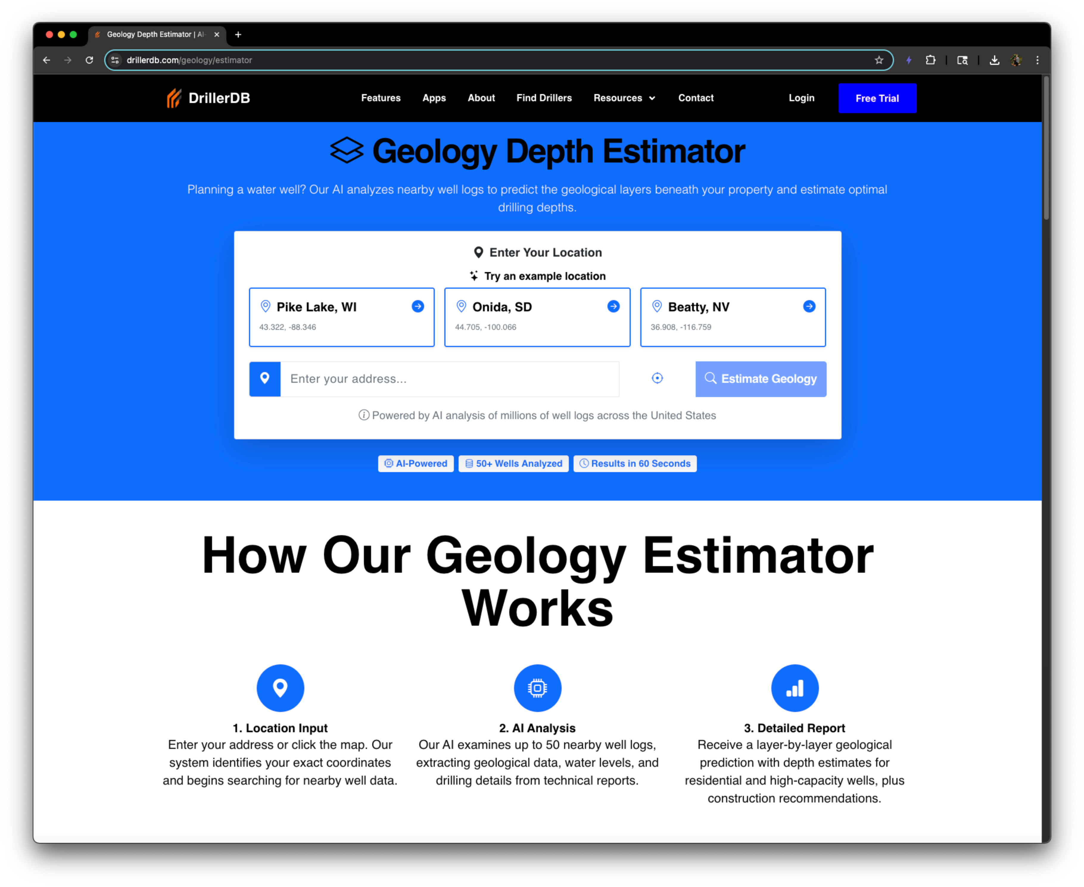
Geology Estimator – DrillerDB
DrillerDB’s AI estimates local well depth, water levels, and stratigraphy at any U.S. address -- plain English guidance for faster quotes and site planning.
- Free plan available
- No credit card
What is Geology Estimator – DrillerDB?
Key features
Well depth estimation
predicts how deep you'll need to drill at a given U.S. address
Groundwater level forecasting
estimates static water table depth based on local geology
Stratigraphy summary
identifies likely rock and soil layers you'll encounter
Plain English output
presents technical geological data in straightforward language
Location-based queries
accepts any U.S. address and returns site-specific estimates
Quote preparation
provides geological context to help contractors price jobs faster
Pros & cons
Advantages
- Speeds up initial site assessment without requiring field visits or expensive surveys
- Free tier available so you can test it on a few locations at no cost
- Gives contractors concrete numbers to include in quotes and proposals
- Reduces uncertainty during the planning phase of well or water projects
Limitations
- Limited to U.S. addresses only; not useful for international projects
- AI estimates are not substitutes for professional geological surveys or drilling logs; always verify with site investigations before committing to a project
- Accuracy depends on the quality of underlying geological databases, which may be sparse in remote or poorly mapped areas
Use cases
Well drilling contractors preparing quotes and timelines for residential or commercial clients
Hydrogeologists doing preliminary assessments before conducting detailed site investigations
Property owners considering well installation deciding whether drilling is feasible
Site managers planning water infrastructure projects and budgeting for equipment
Environmental consultants gathering baseline subsurface data for reports
Ready to try Geology Estimator – DrillerDB?
Pricing
Free
Free
Limited number of location estimates per month; basic well depth and water level predictions
Paid (Freemium model)
Pricing not publicly specified
Unlimited location queries; full stratigraphy detail; likely export and integration features for contractor workflows
Get started with Geology Estimator – DrillerDB
Click through to Geology Estimator – DrillerDB and start using it now.
- Free plan available
- No credit card