
Natix Network AI
change mapping with IoT, AI, and blockchain integration.
- Always free
- No credit card
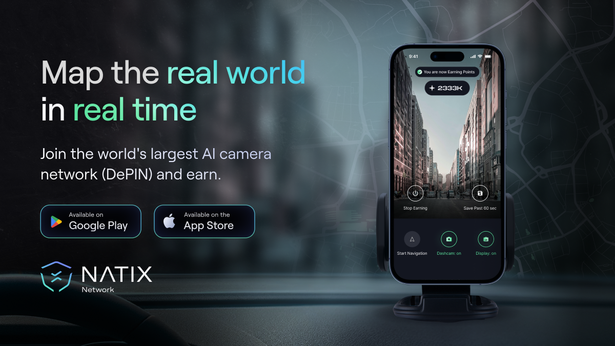
What is Natix Network AI?
Key features
IoT sensor integration
collects real-world data from connected devices deployed in physical locations
AI-powered analysis
processes raw sensor data to identify patterns, changes, and relevant information automatically
Blockchain recording
stores verified mapping data on a distributed ledger to ensure immutability and transparency
Real-time updates
refreshes maps as new data arrives from the IoT network rather than relying on periodic snapshots
Decentralised verification
uses blockchain consensus mechanisms to validate data accuracy without a single authoritative source
Pros & cons
Advantages
- Free to use, making it accessible for small teams and early-stage projects
- Combines multiple technologies to provide both current data and verifiable records
- Reduces dependency on traditional centralised mapping services
- Can capture changes in real-time as conditions on the ground shift
Limitations
- Requires deployment and maintenance of IoT hardware, which adds costs and complexity
- Success depends on having sufficient sensor coverage in target areas
- Blockchain integration may introduce latency compared to simpler, centralised mapping solutions
Use cases
Smart cities tracking infrastructure changes, utility line locations, and urban development in real-time
Logistics networks monitoring asset locations and route conditions without relying on proprietary mapping platforms
Infrastructure inspection programmes recording and verifying equipment status across distributed networks
Supply chain transparency projects maintaining auditable records of goods movement and storage conditions
Emergency response operations creating accurate, verified maps of affected areas during disasters
Ready to try Natix Network AI?
Pricing
Free
Free
Full access to core platform features, IoT sensor integration, AI analysis, and blockchain recording
Get started with Natix Network AI
Click through to Natix Network AI and start using it now.
- Always free
- No credit card