
Rapideditor
Rapid is a revolutionary map editing tool that integrates advanced mapping technologies, authoritative geospatial open data, and artificial intelligence to facilitate quick and accurate map edits. Des
- Freemium
- Web
- IDEs & Editor ExtensionsDesignUI/UX Design
- Free plan available
- No credit card
What is Rapideditor?
Key features
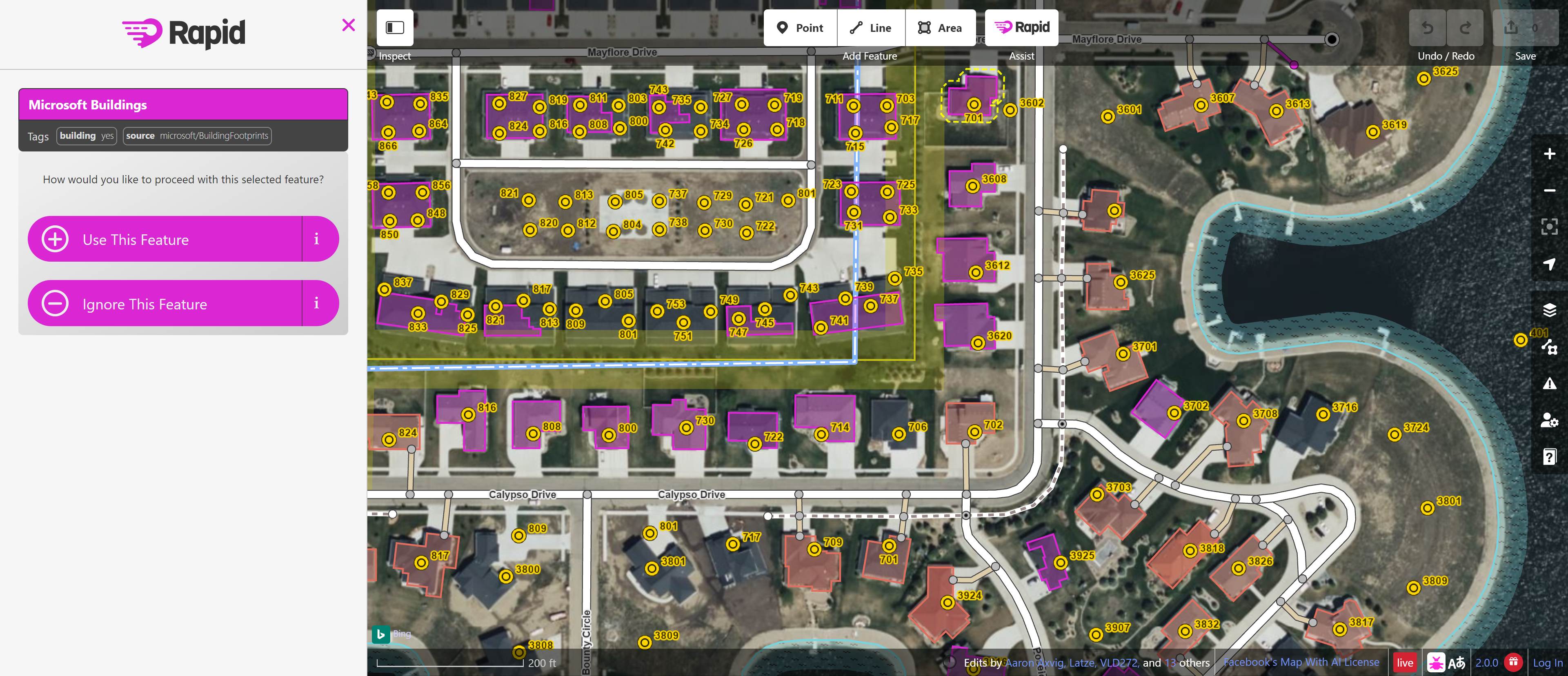
AI-assisted satellite imagery analysis
Automatically detects buildings, roads, and other features from satellite photos to speed up mapping
Quick geometry editing
Simplified tools for drawing and adjusting map features without complex workflows
Integrated task management
Supports organised mapping projects and campaigns with task coordination features
OpenStreetMap integration
Direct connection to OpenStreetMap data, allowing immediate publication of edits
Satellite imagery selection
Access to multiple satellite sources to choose the clearest available imagery for your area
Pros & cons
Advantages
- Significantly faster than traditional OSM editors for bulk mapping tasks
- Free to use with no account restrictions for core functionality
- Lower barrier to entry for new mappers compared to older OSM tools
- Open source and community-driven development
Limitations
- AI feature detection requires verification and isn't always accurate, particularly in areas with poor image quality or complex layouts
- Web-only access means it requires a reliable internet connection
- Still relatively new compared to established OSM editors, so some advanced features may be missing
Use cases
Organised mapping campaigns to add missing infrastructure in underserved regions
Post-disaster response mapping to update affected areas quickly
Building footprint mapping in areas with good satellite coverage
Road network updates and refinement
Volunteer community mapping projects with multiple contributors
Ready to try Rapideditor?
Pricing
Free
Free
Full access to all core mapping features, satellite imagery, AI-assisted detection, and OpenStreetMap integration
Get started with Rapideditor
Click through to Rapideditor and start using it now.
- Free plan available
- No credit card